|
Maps (click map for larger image)
 |
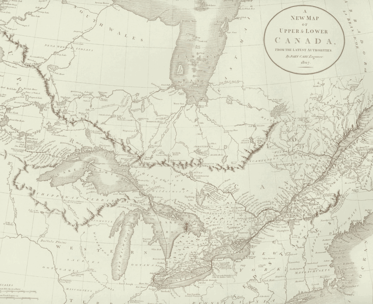
A New Map of
Upper and Lower Canada, 1807
Cary, John. "A New Map of Upper &
Lower Canada, from the latest
Authorities." London, 1807. First
published in Cary's New Universal
Atlas London, 1808. |
|
 |
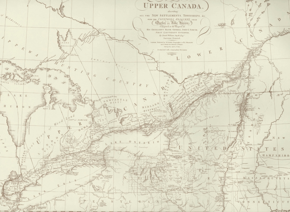
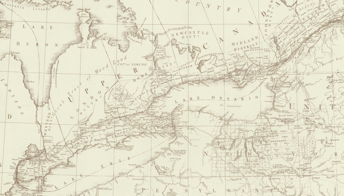
A Map of the
Province of Upper Canada, 1813
Smyth, David William. "A Map of the
Province of Upper Canada, describing
all the New Settlements, Townships,
&c. with the Countries Adjacent,
from Quebec to Lake Huron. Compiled
at the Request of His Excellency
Major General John G. Simcoe, First
Lieutenant Governor." London:
Published by W. Faden, 1800. Second
Edition 1813. |
|
|
 |
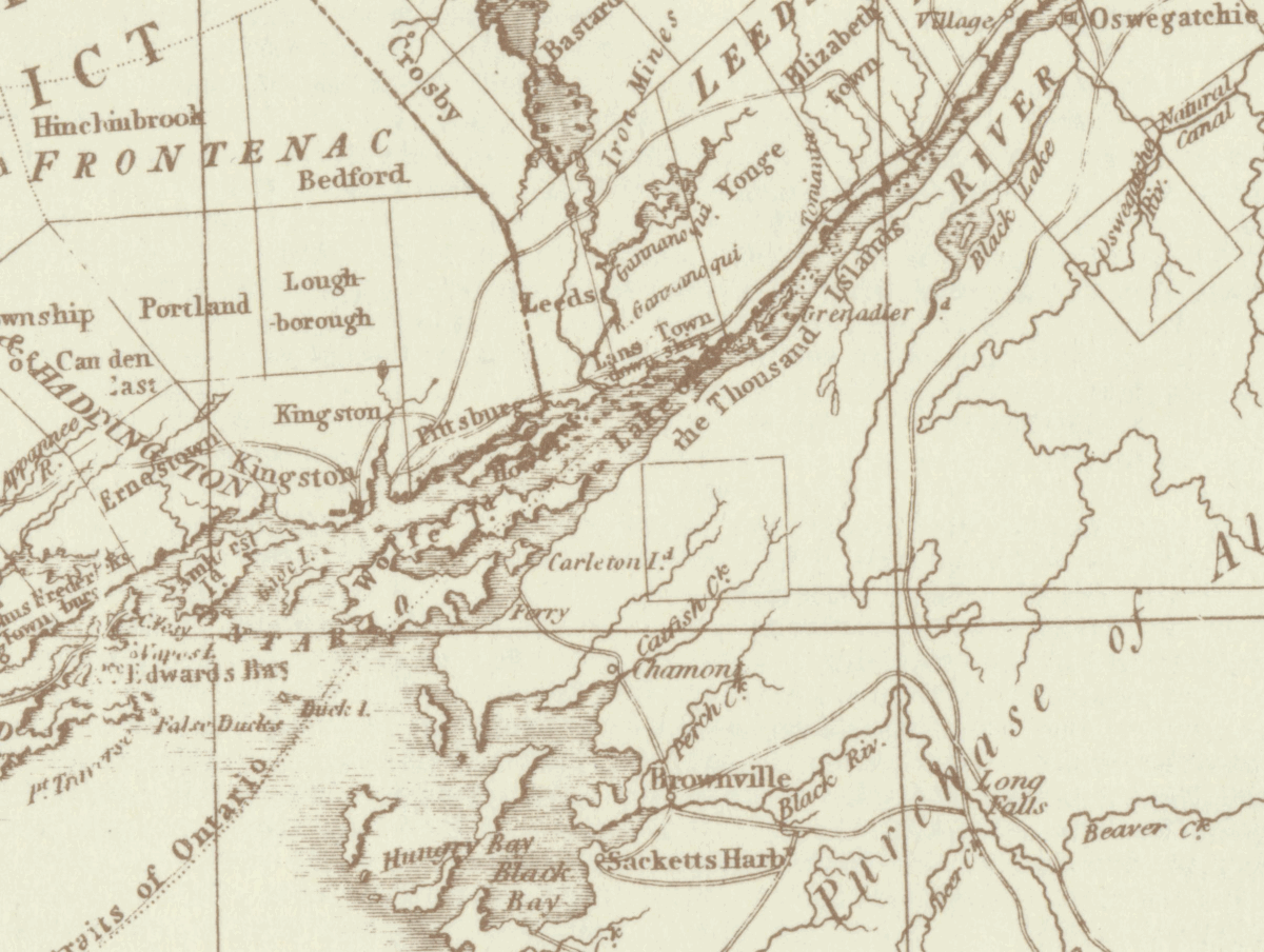
Detail:
Cataraqui circuit including region
around Kingston and Wolfe Island
(Smyth, 1813) |
|
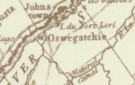 |
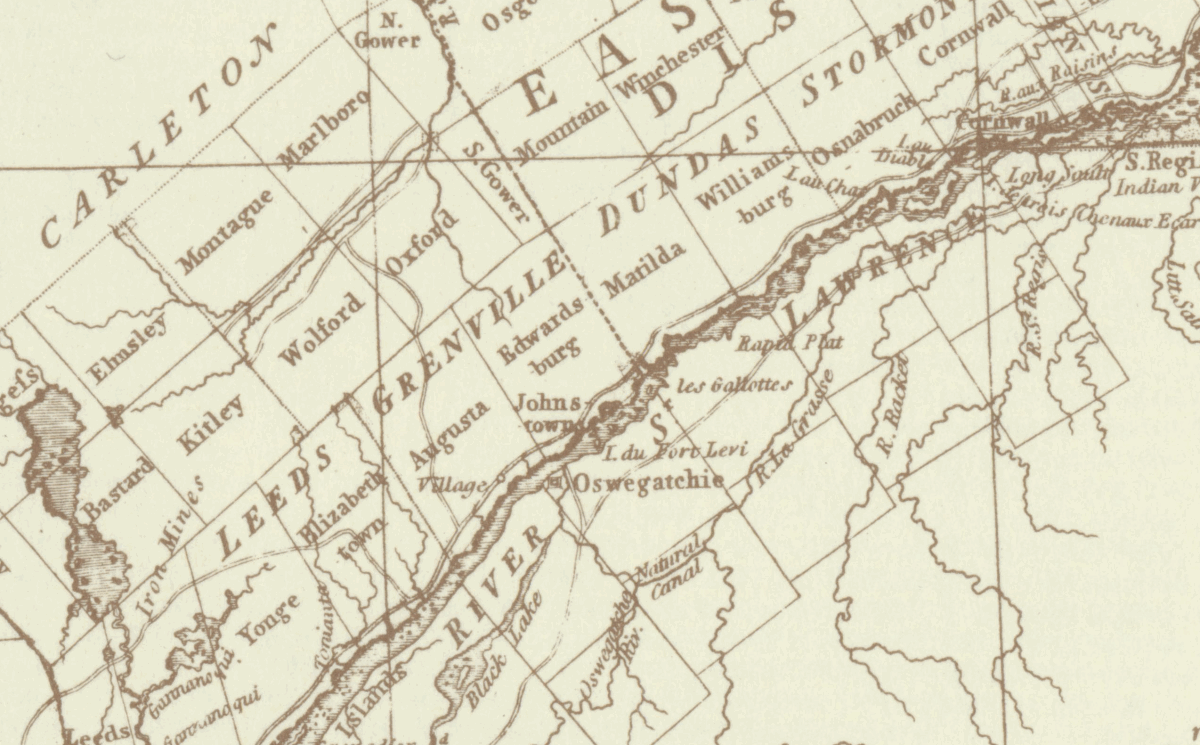
Detail:
Oswegatchie circuit from the
Thousand Islands to Lake St.
Francis.
(Smyth, 1813) |
|
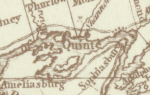 |
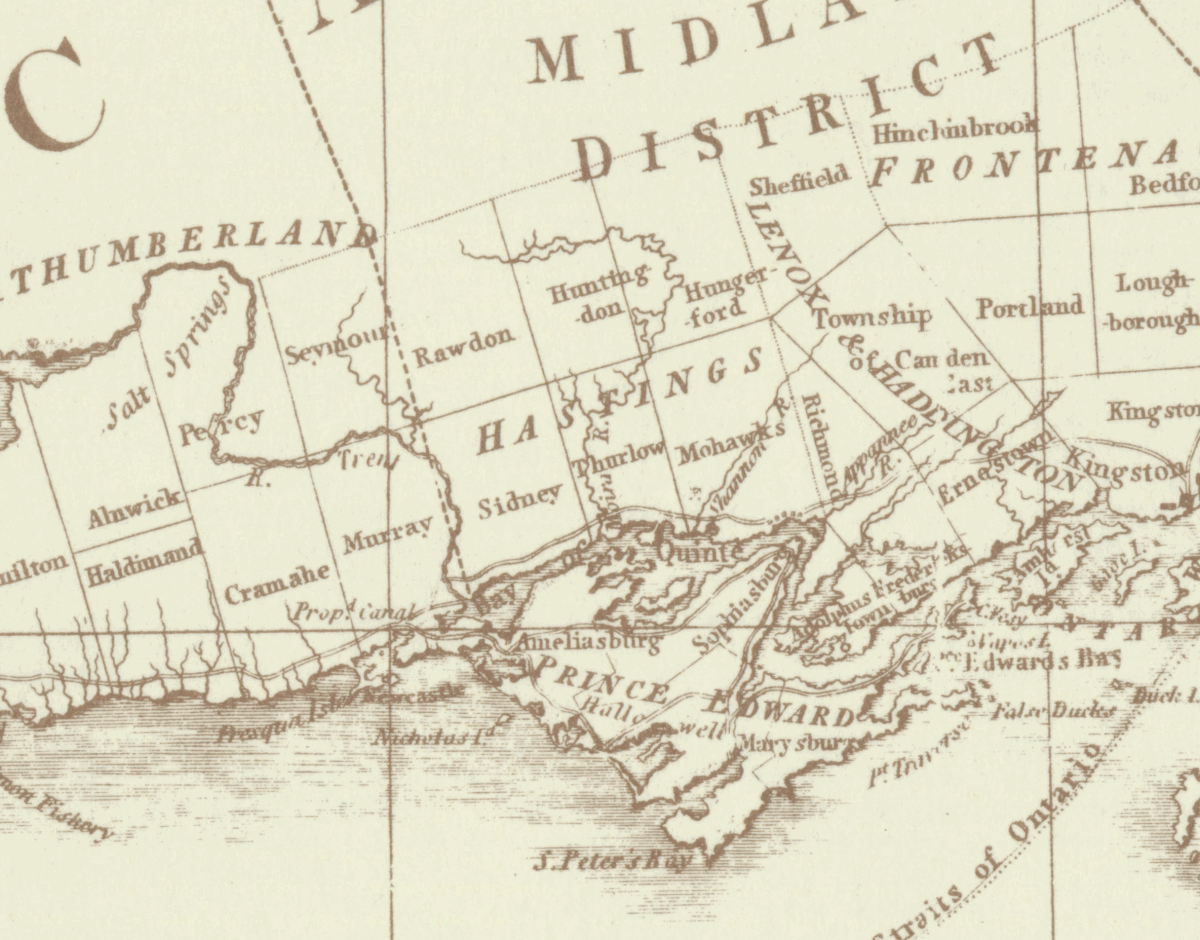
Detail: Bay
of Quinte circuit on the north-east
shore of Lake Ontario
(Smyth, 1813) |
|
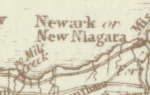 |
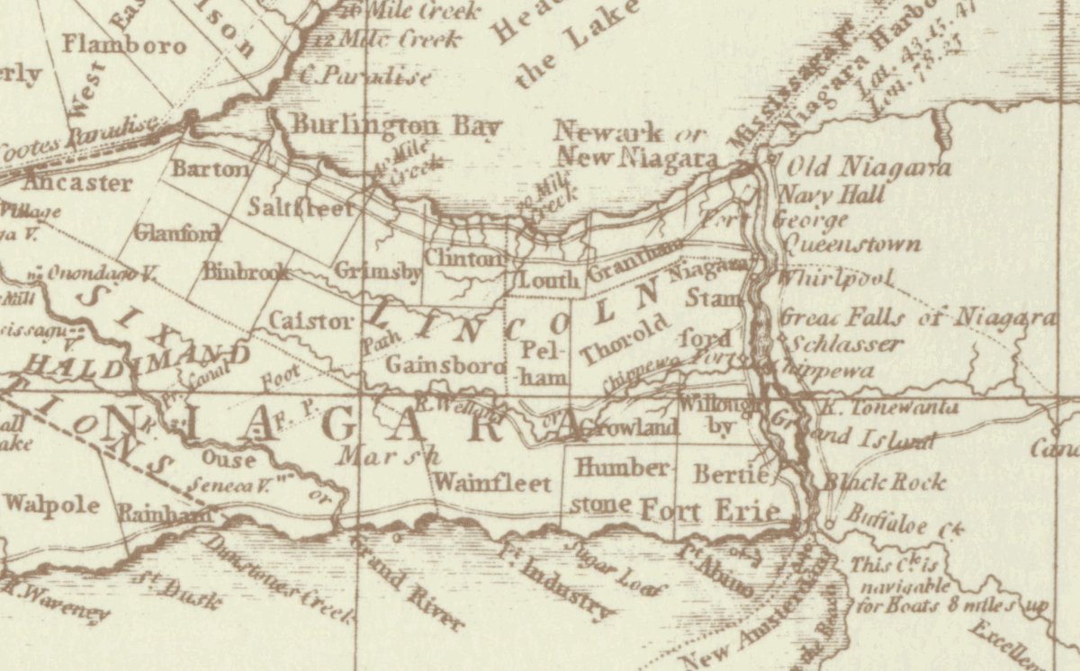
Detail:
Niagara circuit including Newark (Niagara-on-the-Lake)
between the south-western shore of
Lake Ontario and the north-eastern
short of Lake Erie
(Smyth, 1813) |
|
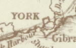 |
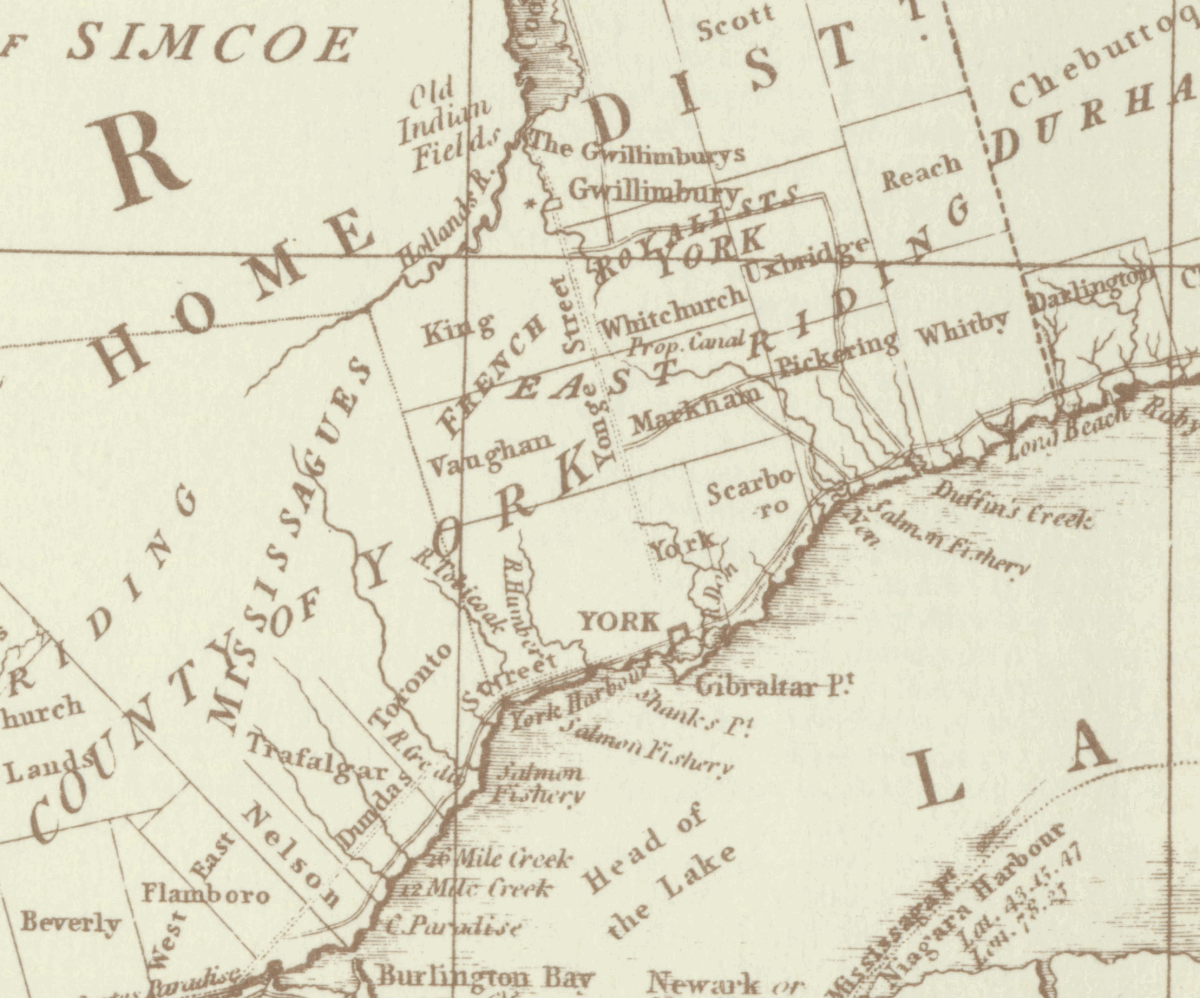
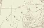
Detail: Home
District including York (Toronto)
and Yonge Street on north-west shore
of Lake Ontario
(Smyth, 1813) |
|
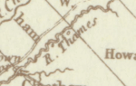 |
Detail:
Western district including River
Thames, Lake St. Claire and north
shore of Lake Erie
(Smyth, 1813) |
|
 |
Detail: Upper
Canada district from Sandwich
(Windsor) to Cornwall
(Smyth, 1813) |
|
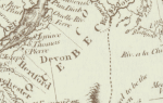 |
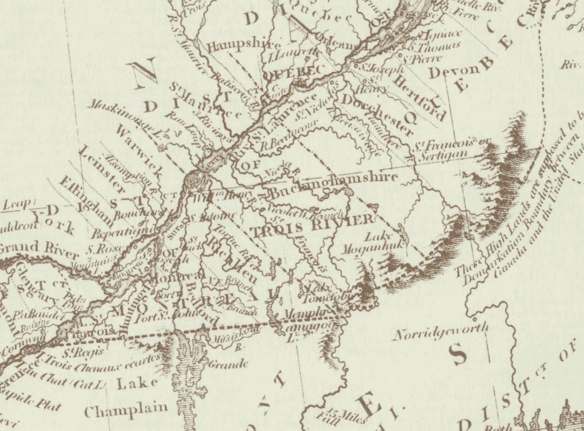
Detail: Lower
Canada including Quebec, Montreal,
and Grand (or Ottawa) River
(Cary, 1807) |
|
|
|