A Virtual (Zoom) Crash Course from CIFAL York
For executives, non-mapping professionals, and academics who work in fields related to data collection, data analysis, and data visualization on mapping software
Registration fee: CAN $600.00
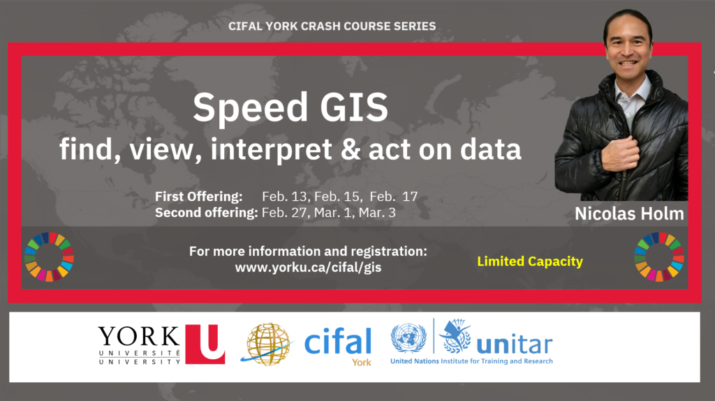
First Offering: Monday, Feb. 13, 2023, 11 AM - 3 PM EST | Wednesday, Feb. 15, 2023, 11 AM - 3 PM EST | Friday, Feb. 17, 2023, 11 AM - 1 PM EST
Register for the First Offering (Starting Monday Jan.16, 2023)
*********************************
Second Offering: Monday, Feb. 27, 2023, 11 AM - 3 PM EST | Wednesday, Mar. 1, 2023, 11 AM - 3 PM EST | Friday, Mar. 3, 2023, 11 AM - 1 PM EST
Register for the Second Offering (Starting Monday Jan. 16, 2023)

Course Instructor
Nicolas Holm is a self-taught GIS Mastermind. Approaching everything with curiosity and speed, he envisions and designs GIS maps, applications, and dashboards to raise awareness around key global and humanitarian issues. He combines technical know-how, artistic expression, and GIS magic to create visually striking and informative maps that transform how we perceive and interact with the world. He has applied GIS across various disciplines including humanitarian crisis, climate change, flooding, insurance, oil spills, and wildfires to monitor emerging situations and predict outcomes. At the onset of COVID-19, he was one of the first to display the potential spread of the virus to the public by creating an interactive 3D map displaying flight paths our of Wuhan, China. He has worked closely with the DiCaprio Team and movie maker Michael Nash in support of climate change awareness. His map of Tibet even reached the Dalai Lama, presented to his inner circle. He has collaborated with top universities, law firms, reporters, and AEC. He sits in the advisory board of Sentient Hub and has spoken on Environmental Professional Radio. His work has been showcased by the BBC and Dr. Ursula Eicker, Canada’s Research Chair. His GIS applications and dashboards tools were cited by Joseph Kerski on Spatial Reserves.

Course Description
Unlock the power of location and data with our easy-to-follow, hands-on GIS course for executives. Learn how to find data, information, maps, applications, and 3D scenes, on any topic, all without any coding or data format knowledge. Gain access to the latest mapping platforms at no cost and develop geospatial thinking to understand the interconnectedness of the world.
You will learn to use portals linking servers and datasets around the web, and gain access to highly specialized GIS tools designed by the instructor and tried by organizations such as Space X, NASA, and the United Nations. Get an in-depth look at the latest advancements in 3D, 360-degree Aerial imagery, AI, and Machine Learning.
Create your ArcGIS account, and use GIS tools to gain situational awareness, and solve real world problems. Discover how GIS can aid decision making, intelligent planning, and conscious responsible actions. Join this course to explore millions of ready to use data layers with just a few clicks and gain a Superpower to see what others can't.

Course Learning Objectives
After taking this course participants will:
- Understand REST API and WMS.
- How to view NASA, NOAA, ESA databases.
- Access GIS tools for real world application.
- Find data, maps, Apps, Dashboards, StoryMaps, Data Visualization on many topics.
- Basic understanding of Web Apps and Maps.
- Save data to a new map and add additional data layers.
- Understand layer visibility.
- Know how to access real-time IOT sensors, weather layers, and satellite imagery.

Course Approach
The course content will be reinforced by practical exercises where participants will use the skills learned to find and visualize data. The course will be hands on and interactive to guide participants through data collection and visualization techniques and exercises. This step by step, 3-part course will enable you to: gain situational awareness, read in data from many sources, and access fully integrated systems, where you can ping IOT sensors, run predictive analytics, view satellite imagery, and extract data features. Emphasis is put on speed to quickly achieve course objectives and retain the information and workflow.

Introduction to GIS, REST and WMS APIs (4 hours)
Objectives:
- Introduction to GIS.
- Technical demonstration of GIS tools and access.
- Explanation of REST and WMS API.
- Demonstration of Nearmap AI's. immersive aerial maps and AI layers.
- Exercise #1.
- Q & A session at the end of module.

Searching for Data Made Easy (4 hours)
Objectives:
- Review of REST and WMS APIs and how to add them to a map.
- Introduction to ArcGIS and account setup.
- Finding, interpreting and saving data.
- ChatGTP for map making.
- Technical demonstration of GIS tools and access.
- Demonstration of 360º AerialSphere imagery.
- Exercise #2
- Q & A session at the end of module.

Your Questions Answered (2 hours; optional)
Objectives:
- Q & A session with course participants.
- Technical demonstration of GIS tools and access for review.