Open to Everyone
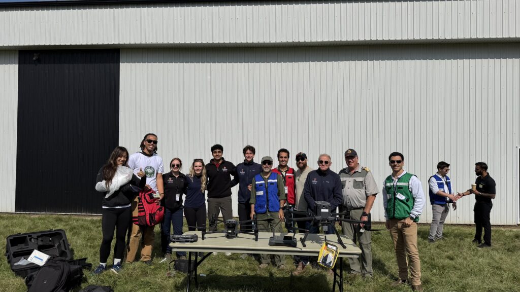
Learn how to use a drone for search and rescue operations with drone

2026 Dates: Saturday, April 11 | June 13 | August 8 | October 10 | December 12
Time: 9:30 AM-4:30 PM
Location: ADERSIM Lab, N004, Schulich Building, York University
Registration Deadlines for Each Course: Saturday April 4 | June 6 | August 1 |
October 3 | December 5
Registration Links:
Saturday April 11 | Saturday June 13 | Saturday August 8 |
Saturday October 10 | Saturday December 12


Course Description
This intensive professional course, offered by CIFAL York and ADERSIM, is mainly designed for licensed drone pilots seeking to specialize in Search and Rescue (SAR) operations. Participants will move beyond basic flight skills to master the strategic, technical, and analytical competencies required for effective use of drone for various search and rescue missions. With a practical focus on the powerful DJI Matrice 30T platform, this course integrates established SAR principles with cutting-edge drone technology to prepare you for real-world scenarios.
A certificate of completion will be issued to all participants from CIFAL York upon completion of the course.

Course Outline

Learning Objectives
SAR Fundamentals: Learn the fundamental principles of search and rescue, incident command systems, and how aerial tools like drones are incorporated into ground efforts.
Systematic Search Patterns: Master different search patterns such as grid, creeping line, and expanding square, and learn how to choose and implement the most effective one for drone missions, considering terrain, conditions, and intelligence.
Technical Proficiency with the M30T: Gain in-depth, hands-on experience with the DJI Matrice 30T. You will learn to expertly utilize its advanced sensor suite and relevant SAR payloads, including the thermal imaging camera for detecting heat signatures, the laser rangefinder for precise location marking, and the high-resolution zoom camera for subject identification.
Operational Planning & Execution: Learn how to carry out pre-flight mission planning, perform on-site risk assessments, and oversee flight operations in difficult environments, all while ensuring clear communication with SAR teams.
Data Analysis & Interpretation: Develop the critical skill of analyzing aerial data in real-time. Learn to differentiate human heat signatures from animals and the environment, identify clues from the air, and translate your findings into actionable intelligence for ground crews.

Course Approach
The course is structured into 3 modules. This three-module course is designed to balance theory with practice:
- Module 1: Classroom-based learning on the basics of search and rescue operations with drone.
- Module 2: Search and rescue flight planning.
- Module 3: Field-based practical Search and Rescue operations with a drone.
.
Target Participants
First responders (fire, police, paramedics)
Emergency managers and public safety personnel
Volunteer SAR team members
Certified drone pilots aiming to apply their skills in the public safety sector
Emergency management students
Individuals who have a drone licence and are interested in learning SAR operations with drone.
.
Course Instructor


Dr. Ali Asgary
Professor Ali Asgary is an expert in disaster, emergency, and business continuity management. He has been actively involved in research, teaching, and professional activities in these fields since 1990. His research has been published in leading disaster and emergency management journals, including Disasters, International Journal of Disaster Risk Reduction, International Journal of Disaster Science, Disaster Prevention and Management, Environmental Hazards, International Journal of Emergency Management, International Journal of Business Continuity and Risk Management, Journal of Contingencies and Crisis Management, and International Journal of Emergency Services, among others. He was among the founding faculty members who started the first university program in Disaster & Emergency Management in Canada at Brandon University in 2003 and was later among the founding faculty members who initiated Disaster & Emergency Management at York University.
Dr. Asgary served as the IAEM Canada president from 2007 to 2009 and was a board member of IAEM during the same period. He has led as a principal investigator, co-principal investigator, and collaborator on numerous research projects funded by various agencies, including NSERC, GEOIDE, SSHRC, PreCarn, CIHR, NFRF, ORF, Transport Canada, Public Safety Canada, Wellcome Trust, IDRC, and DRDC. Since 2015, Dr. Asgary has been the executive director of York University's Advanced Disaster, Emergency, and Rapid-response Simulation (ADERSIM). His research and teaching interests encompass post-disaster recovery and reconstruction, business continuity and risk assessment, disaster and emergency simulations and modeling, applications of AI, VR, AR, MR, drones, and geomatics in disaster and emergency management, as well as cost-benefit analysis and decision-making under uncertainty.
Course Syllabus

Module 1 – Foundations of Drone SAR Operations
9:30 AM - 11:00 AM
The Evolution of Aerial SAR:
Adapting Search Patterns for Drones
SAR Flight Parameters
SAR Drone Sensor & Camera Settings
Understanding the Laser Rangefinder

Module 2 – Tactical SAR Operations with Thermal Sensor and Visual Cameras
11:15 AM - 12:30 PM
This module transitions from theory to practice, focusing on the complete operational workflow within the DJI ecosystem. You will learn not just what to do, but how to leverage the M30T's, M4 AI, and M350 advanced hardware and software to plan and execute a SAR mission.

Module 3: Practical Field Application
2:00 PM - 4:30 PM
Scenario 1: Point of Interest Identification
Scenario 2: Open Field Grid Search
Scenario 3: Wooded Area Search and Rescue
Registration and Payment
Registration and Payment Deadlines:
Saturday April 4 | June 6 | August 1 | October 3 | December 5
Minimum enrollment to run each offering course of the course: 10
Maximum enrollment: 20
Registration Fee:
Full time students: CAN $50.00
Others: CAN$150.00
To register for this session and pay the fee please:
Course Coordinators
Mx. Francesco del Carpio, CIFAL York
Mr. Mahbod Aarabi, ADERSIM